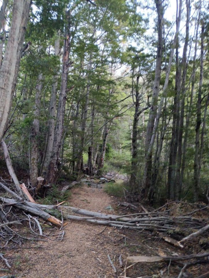
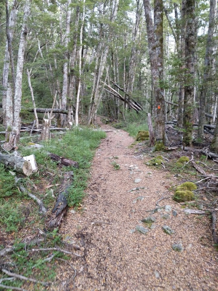
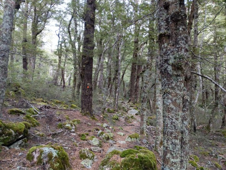
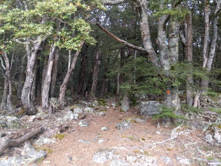
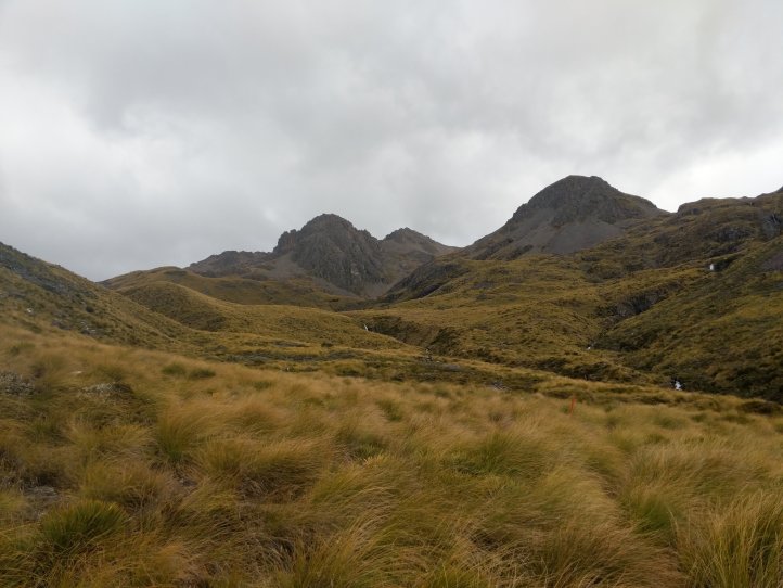
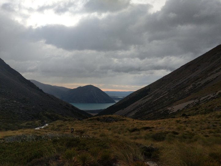
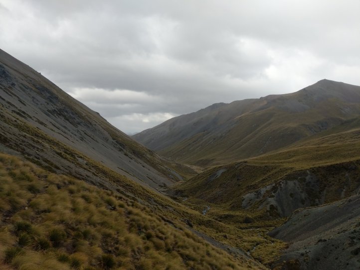
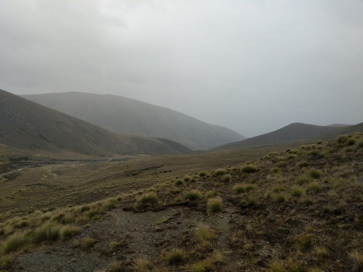
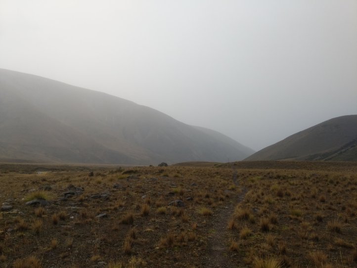
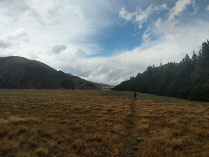
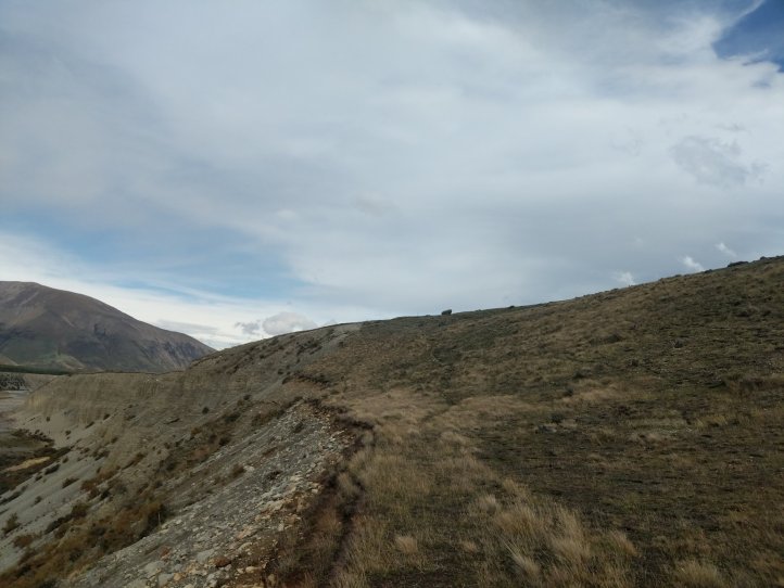
We had a dry and undisturbed night in the tent and got going at normal time in the morning. We’re having to get up and get ready in the dark now with sunrise not happening until near 8am. Daylight savings ends on April 1st so we’ll have to readjust when that comes around. We started out right away with the 800m climb. A good chunk of this was through forest on very easy track and then above the bush line we followed some poles up to the top.
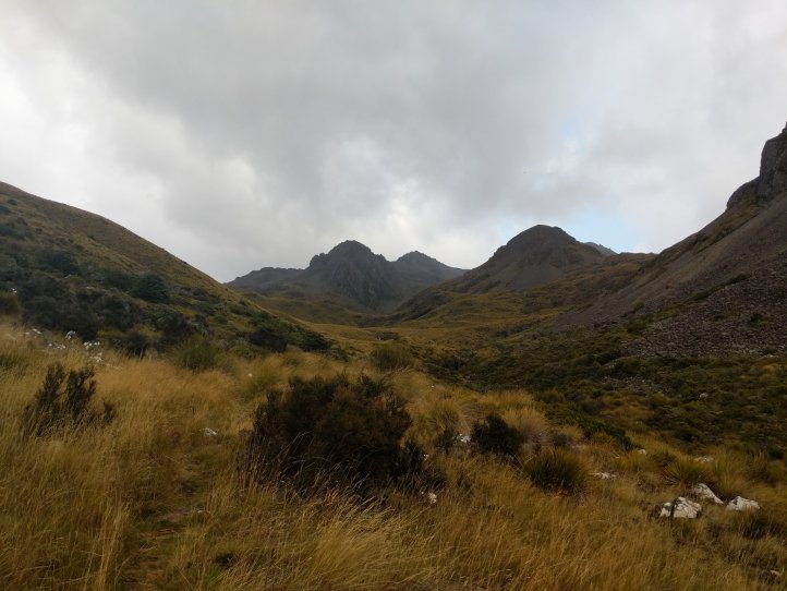
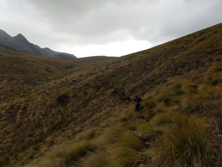
We had known it was going to rain for a period today and had been expecting weather between noon to 3pm last time we’d checked. Pretty much right when we started a light drizzle kicked in, not enough to put on rain gear for the climb thankfully. The climb up was really nice and we were feeling good and getting some nice views.
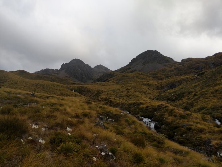
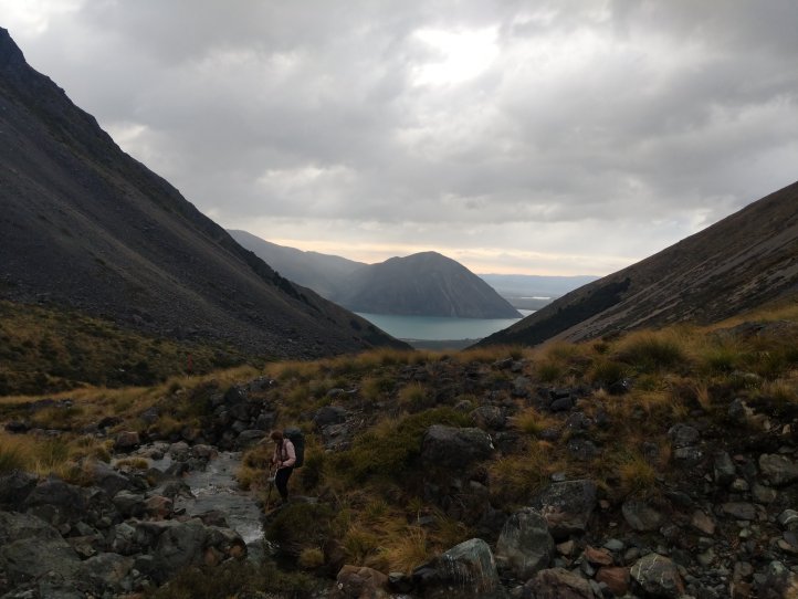
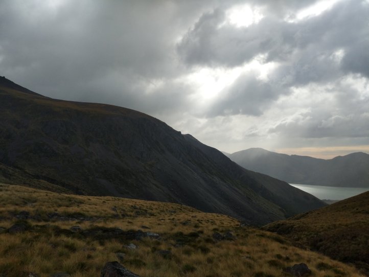
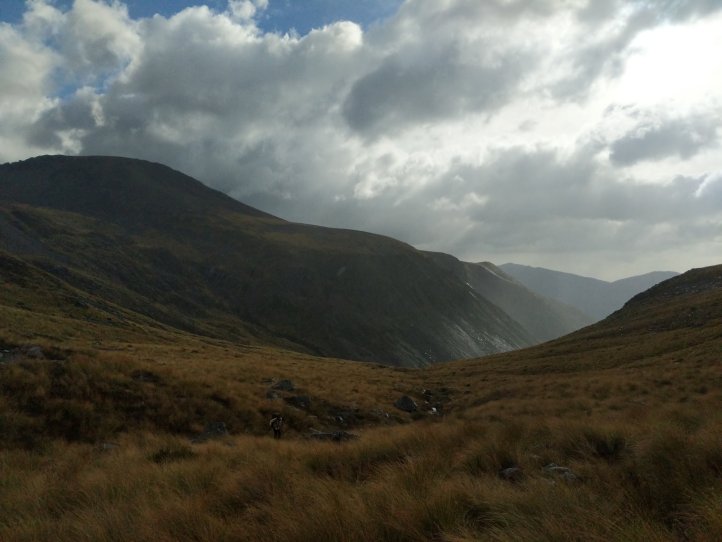
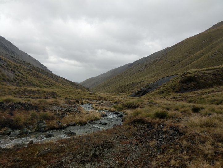
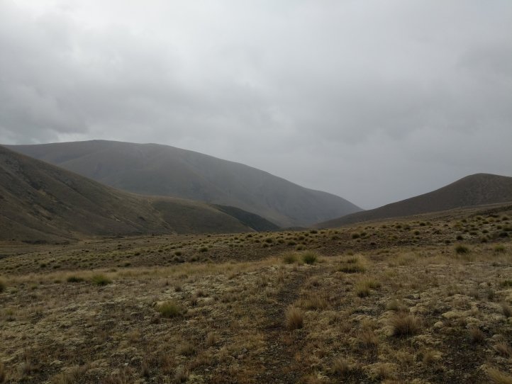
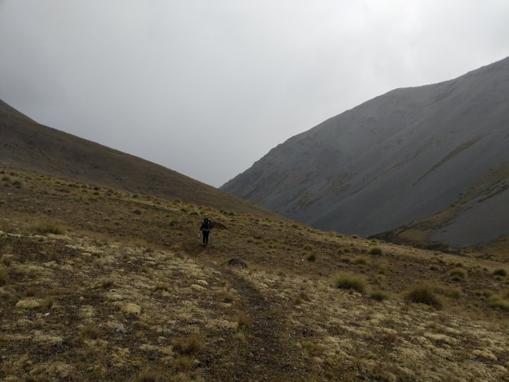
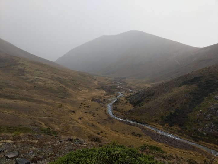
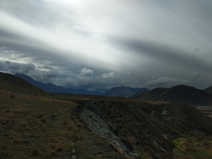
We were also super grateful that there was no snow up here. That had been one of our major concerns for this stretch given our recent experience but we appeared to be in the clear for this climb. The rain had picked up slightly and had a strong breeze at this point so we put on our rain jackets. The descent was a little rockier and by now we’d completely submerged our feet in a stream that we needed to cross multiple times so any memory of dry feet was gone.


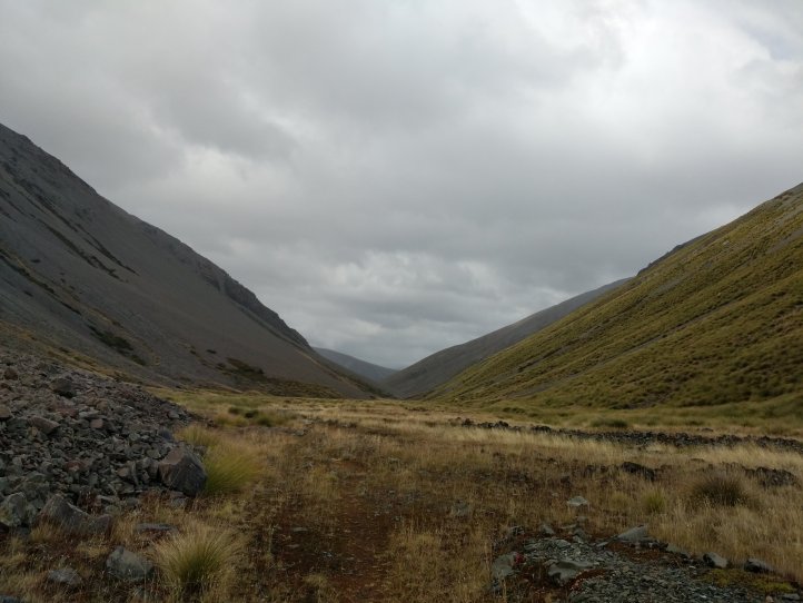
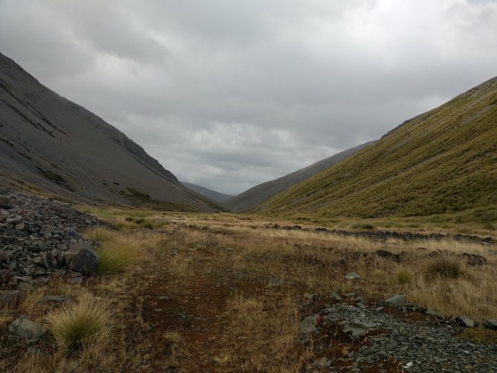
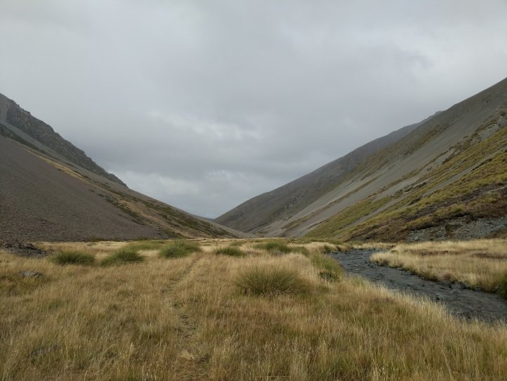
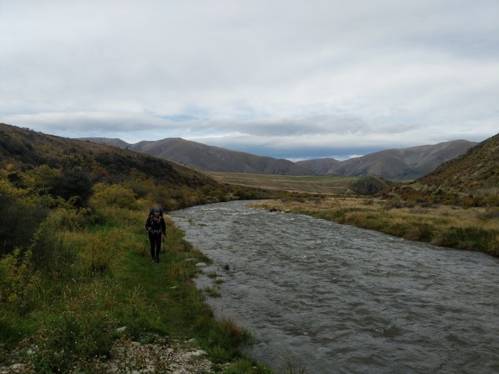
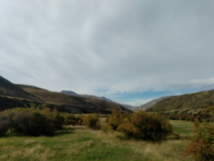
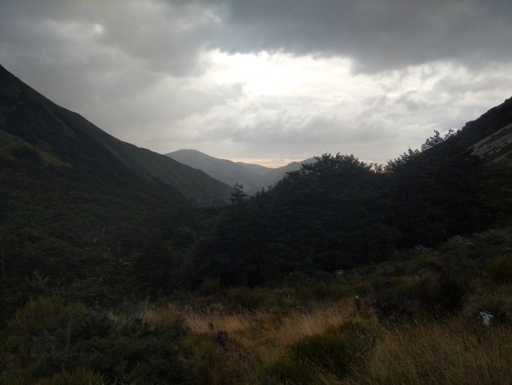
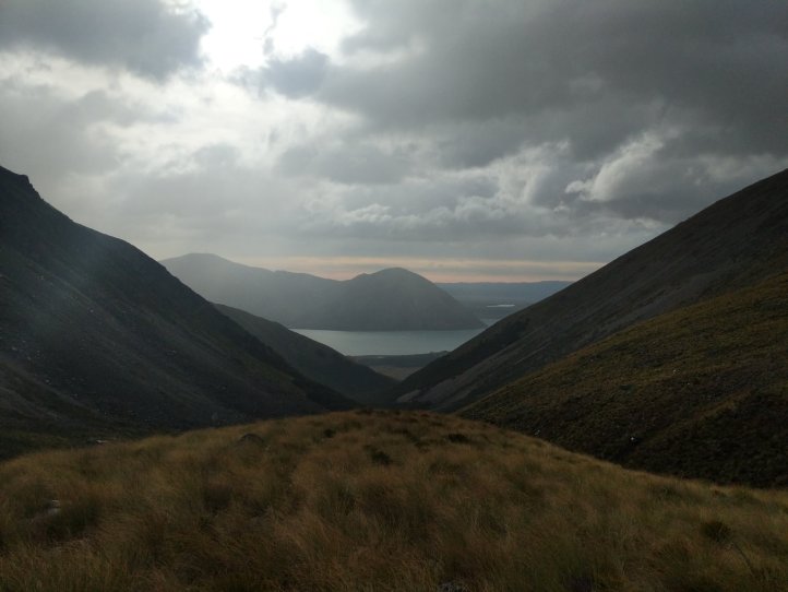
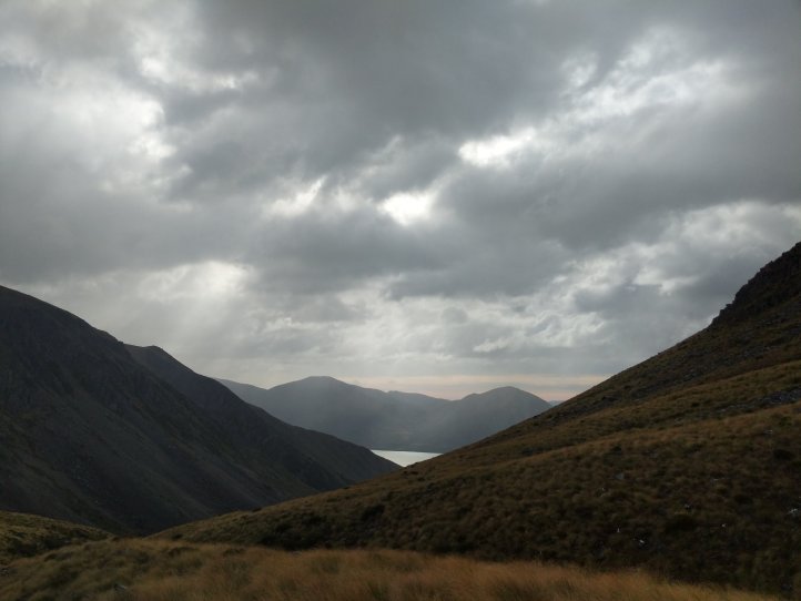
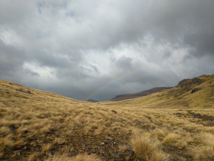
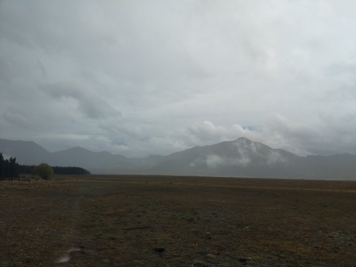
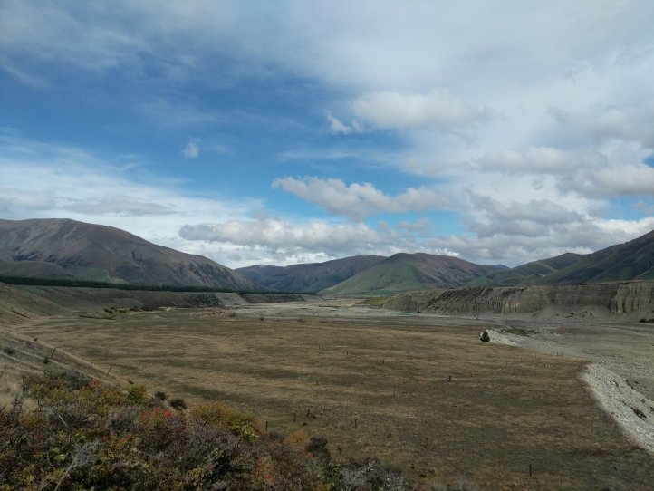
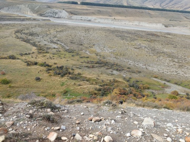
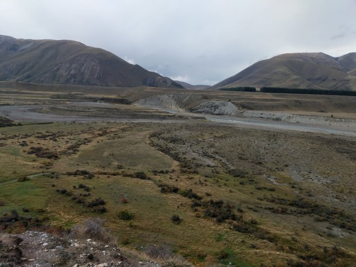
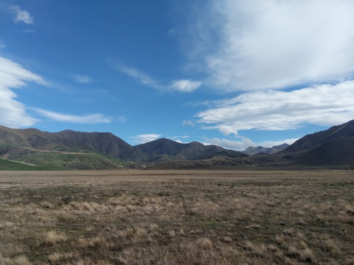
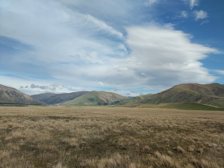
We found a rock to lean up against that was slightly sheltered from the wind and rain and wolfed down a quick lunch. It really picked up after lunch and we were pretty soaked through and cold. The trail itself was actually pretty nice and in good weather this would’ve been very enjoyable. It was pretty flat and well formed and took us on a nice walk around the river. We descended down towards the Ahuriri flats and river and could just see the next mountains in the distance while walking next to a pine farm.

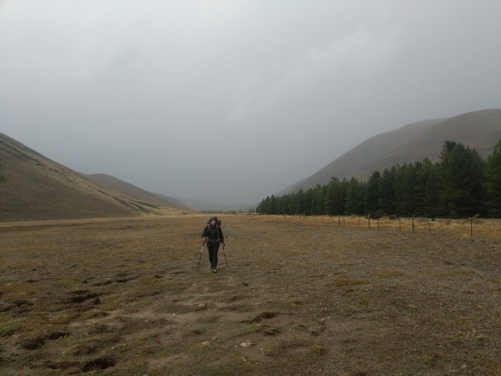
As if by magic the rain completely disappeared across this stretch and we were back in the warm sun. We noticed it was also exactly 3pm which was right when I’d said it would stop.
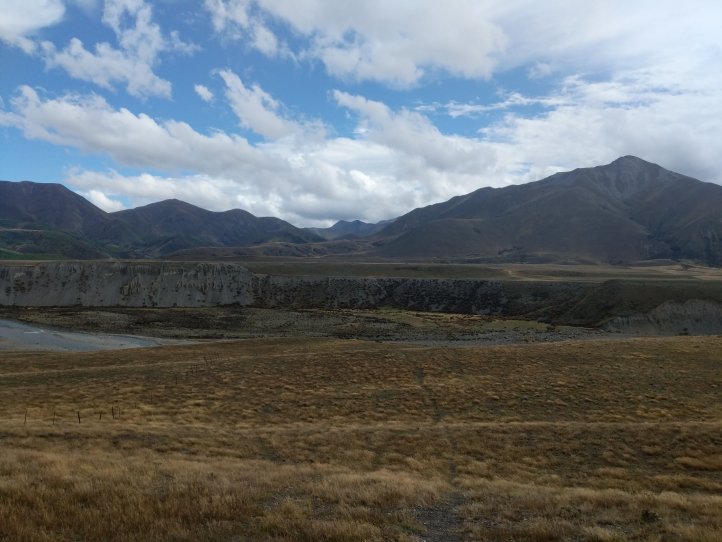

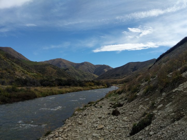
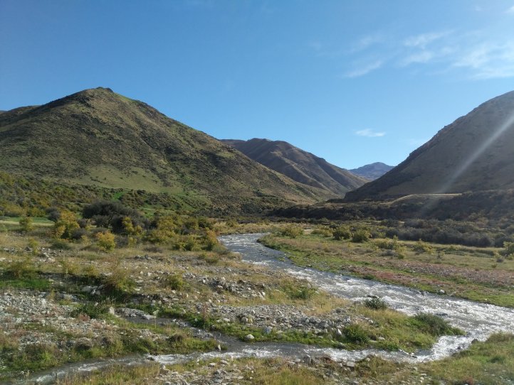
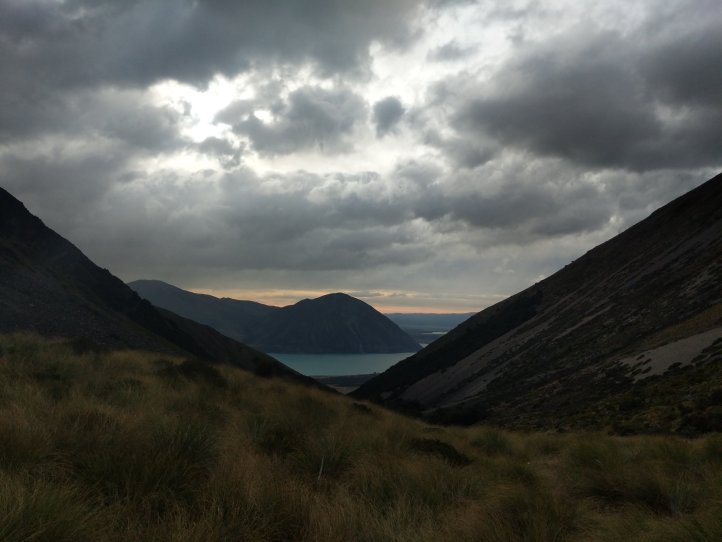
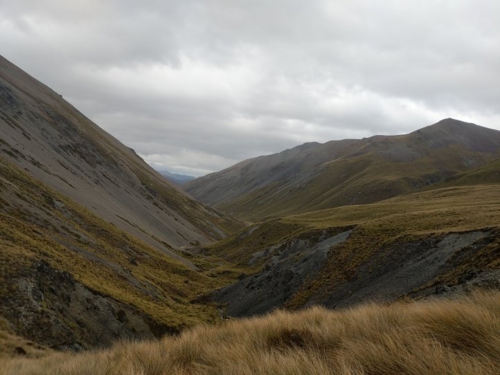
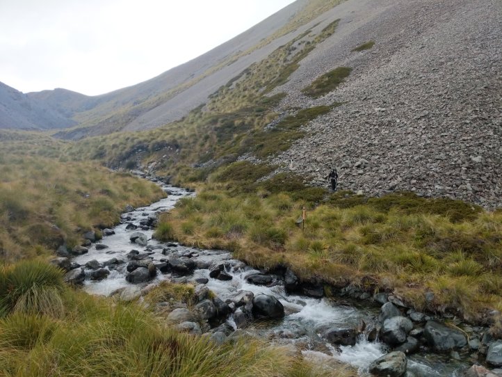
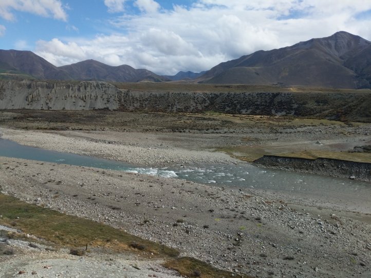
Reaching the end of the pine forest we came to the edge of the Ahuriri river. This is the largest official river on the trail (technically the Rangitata was off trail). We’d been worried that this would be impassable with the rain but as we approached we had a good view of the river from up high and could even see the bottom. We went down in to the rivers edge to give it a go.
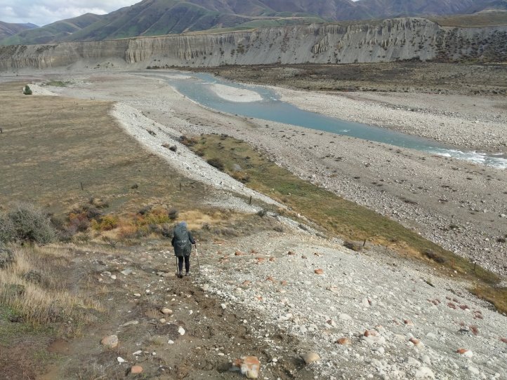
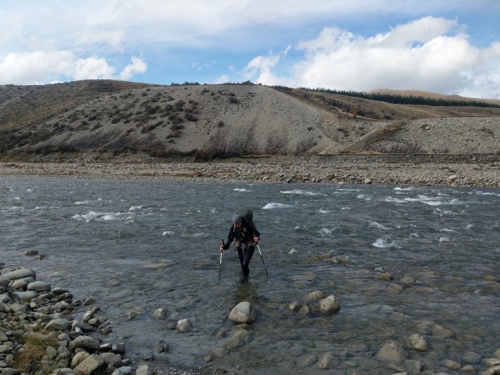
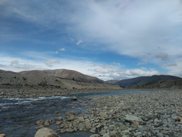
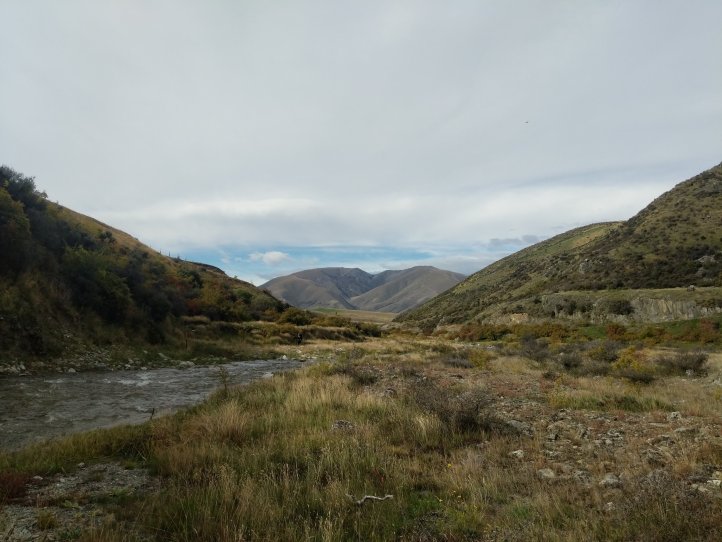
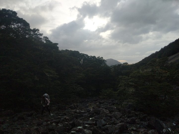
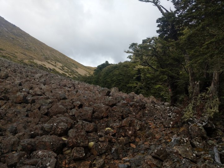
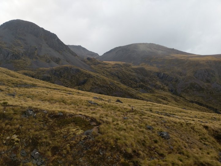
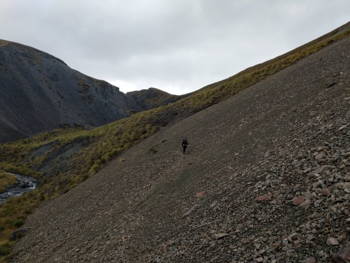
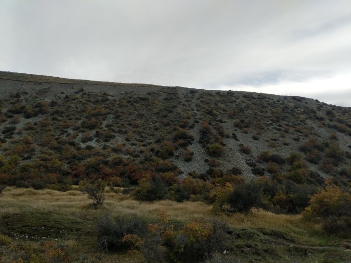
Getting across was fairly easy in terms of the river. The hardest part was that these were some very slippery rocks. Other than that it wasn’t too strong and wasn’t really deep at all. Chuffed to have made it across so easily we took a break in the sun. Possibly harder than the crossing itself was the climb we had right after. It was anything notable in terms of distance but we about 50m of vertical scree. It was one of those moments where there’s a marker at the bottom and a marker at the top but no discernable route to actually get up.
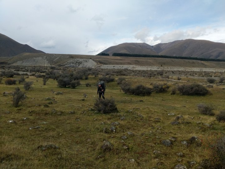
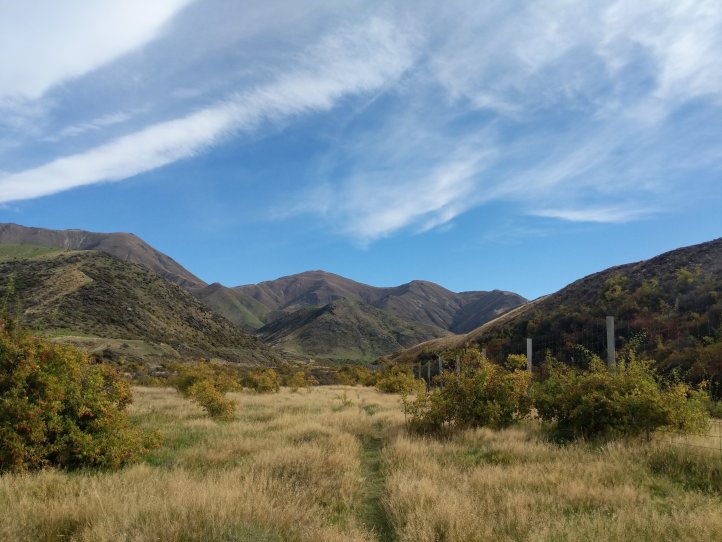
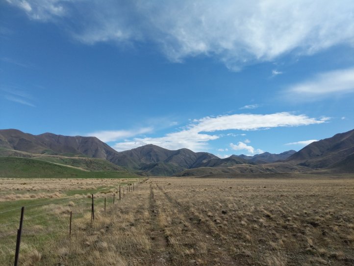
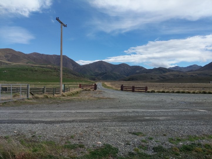
At the top it was really windy and we quickly crossed some farmland and reached the parking lot for the start of the next track. We’re officially into the Otago notes now and only have these and then Southland remaining. We also saw a farmer pull up here and let out one of his dogs that then bounded up the hill and started herding sheep along. It was pretty fun to see the sheep herded around on the hill.
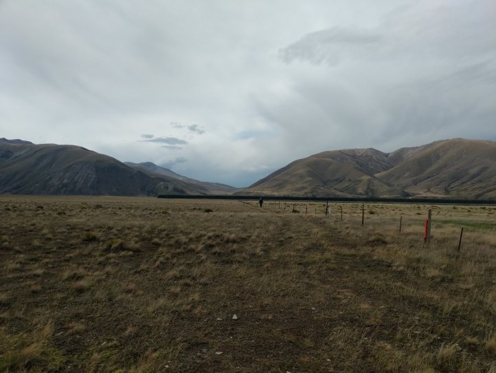
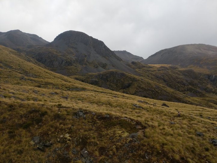
We went a few kms up the next track to find a good camping spot and get away from the road a bit. It was fairly easy walking but we did have to dunk our feet a number of times and go through some bog. We ended up stopping right before a climb up to the farm track so hopefully we’re done with the river crossings. We’ve finished a little early for the day but are in a good position to be climbing and tomorrow up to a high saddle again.